Cuyahoga Valley National Park


Cuyahoga Valley is the 5th most frequently visited park (3,217,935 recreational visits in 2002) in the National Park System. (USNational Park Service)

When the spring blossoms appear, Northeast Ohio temperatures typically range from 40 to 60 degrees fahrenheit. The warmer summers tend to be sunny and somewhat humid with temperatures in the 70s and 80s fahrenheit (occasionally into the 90s). Northeast Ohio autumns provide breathtaking landscapes of the changing color of leaves and temperatures from the 40s to the 60s.


Features
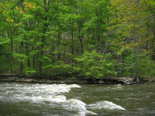

Cuyahoga River
Cuyahoga River begins in the northern portion of Hudson, and includes the cities of Hudson, Macedonia and Twinsburg, and the townships ofBoston, Sagamore Hills, and Northfield Center.  ©Greg Habermann


Brandywine Falls runs into the Cuyahoga River in Sagamore Hills Township near the now-abandoned Jaite Paper Mill. Discharge volume is extremely seasonal, usually a few cubic feet per second, and peaking at several hundred cubic feet per second under flood conditions. ©FranchoisBoucher

Cuyahoga Valley National Park


Cuyahoga Valley National Park


 Activities


Biking on Cuyahoga

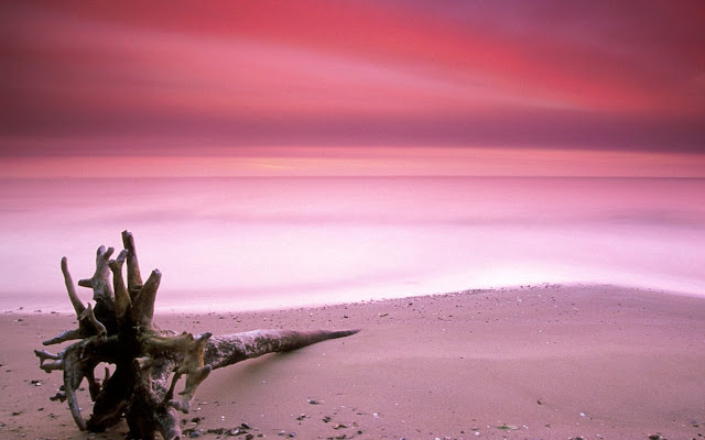
Pink Beach Harbour Island, Bahamas

Short description of Pink Beach Harbour Island, Bahamas


One of famous islan on the Harbour Island is pink sand beaches, which are found all along the east side of the island. The island is accessible by airplane through North Eleuthera Airport, followed by a short water taxi ride from neighbouring North Eleuthera. Harbour Island is a popular vacation destination for Americans. Known as Briland to the locals, Harbour Island is colourful with New England-style buildings and flower lined streets. Harbour Island is part of the Out Islands of the Bahamas.

Harbour Island is an island in the Bahamas and is located off the northeast coast of Eleuthera Island. There is no town on there except Dunmore, named after the governor of the Bahamas from 1786 to 1798, John Murray, 4th Earl of Dunmore, who had a summer residence on Harbour Island.

Location of Pink Beach Harbour Island, Bahamas


View Larger Map


Photos of Pink Beach Harbour Island, Bahamas


Pink Beach Harbour Island

Antarctic

Short description of 
Pink Beach 
Harbour Island, Bahamas
Harbour Island is an island in the Bahamas and is located off the northeast coast of Eleuthera Island. There is no town on there except Dunmore, named after the governor of the Bahamas from 1786 to 1798, John Murray, 4th Earl of Dunmore, who had a summer residence on Harbour Island.

One of famous islan on the Harbour Island is pink sand beaches, which are found all along the east side of the island. The island is accessible by airplane through North Eleuthera Airport, followed by a short water taxi ride from neighbouring North Eleuthera. Harbour Island is a popular vacation destination for Americans. Known as Briland to the locals, Harbour Island is colourful with New England-style buildings and flower lined streets. Harbour Island is part of the Out Islands of the Bahamas.

Location on Google Maps
Visitor Center


Antarctic
Antarctic


Denali National Park

Denali National Park

Yellowstone National Park

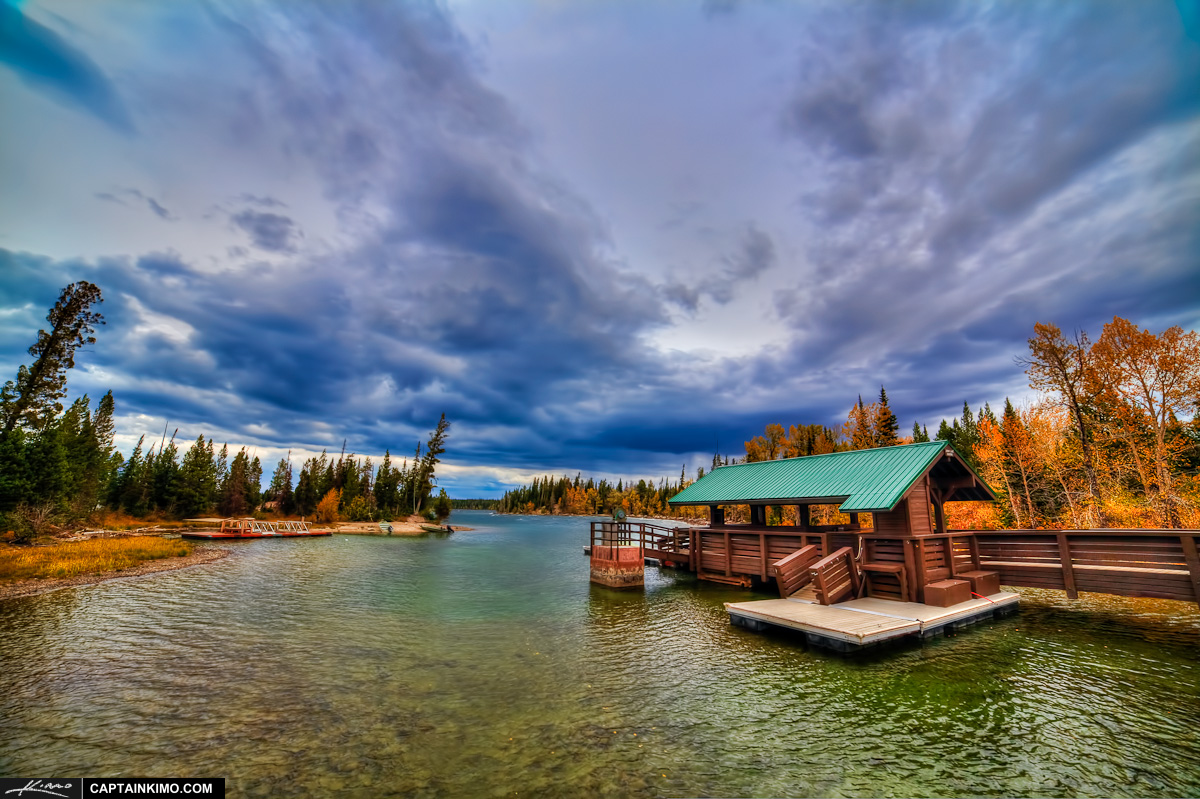
Grand Teton National Park

Short Overview 

Grand Teton National Park is named for Grand Teton, the tallest mountain in the Teton Range. The naming of the mountainsis attributed to early 19th-century French-speaking trappers—les trois tétons (the three teats) was later anglicized and shortened to Tetons. At 13,775 feet (4,199 m), Grand Teton abruptly rises more than 7,000 feet (2,100 m) above Jackson Hole, almost 850 feet (260 m) higher than Mount Owen, the second-highest summit in the range. The park has numerous lakes, including 15-mile-long (24 km) Jackson Lake as well as streams of varying length and the upper main stem of theSnake River. Though in a state of recession, a dozen small glaciers persist at the higher elevations near the highest peaks in the range. Some of the rocks in the park are the oldest found in any U.S. National Park and have been dated at nearly 2.7 billion years.

Teton Ranges the youngest mountain range in the Rocky Mountains

Grand Teton National Park


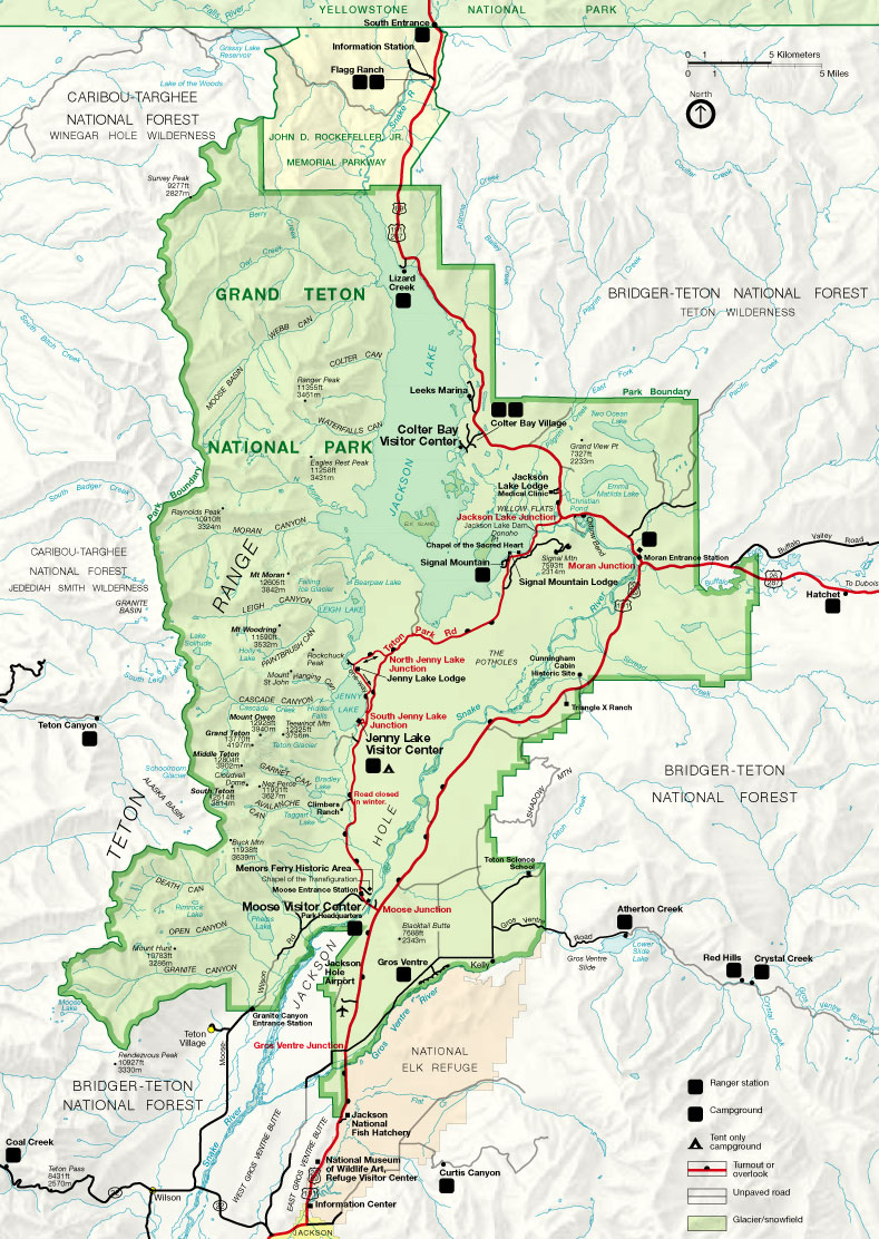
Map and Location on Google Maps


Map
Map of Grand Teton National Park


Activities on Grand Teton National Park


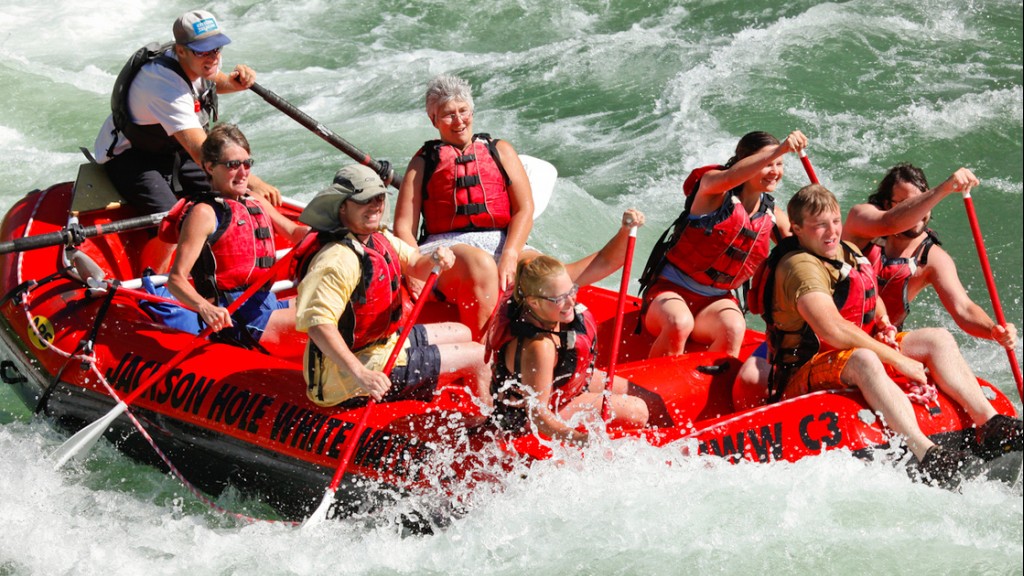
Rafting in Jackson hole white water Grand teton
Rafting in Jackson Hole whitewater Grand Teton National Park

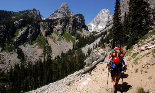
Hiking

Hotel and Places to Stay


More info

Arches National Park

British Columbia

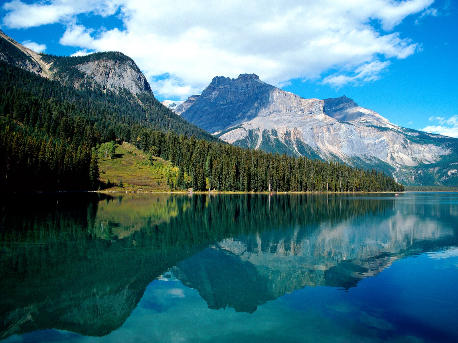
Banf National Park

Banff National Park

Rondane National Park

Rondane National Park Photos

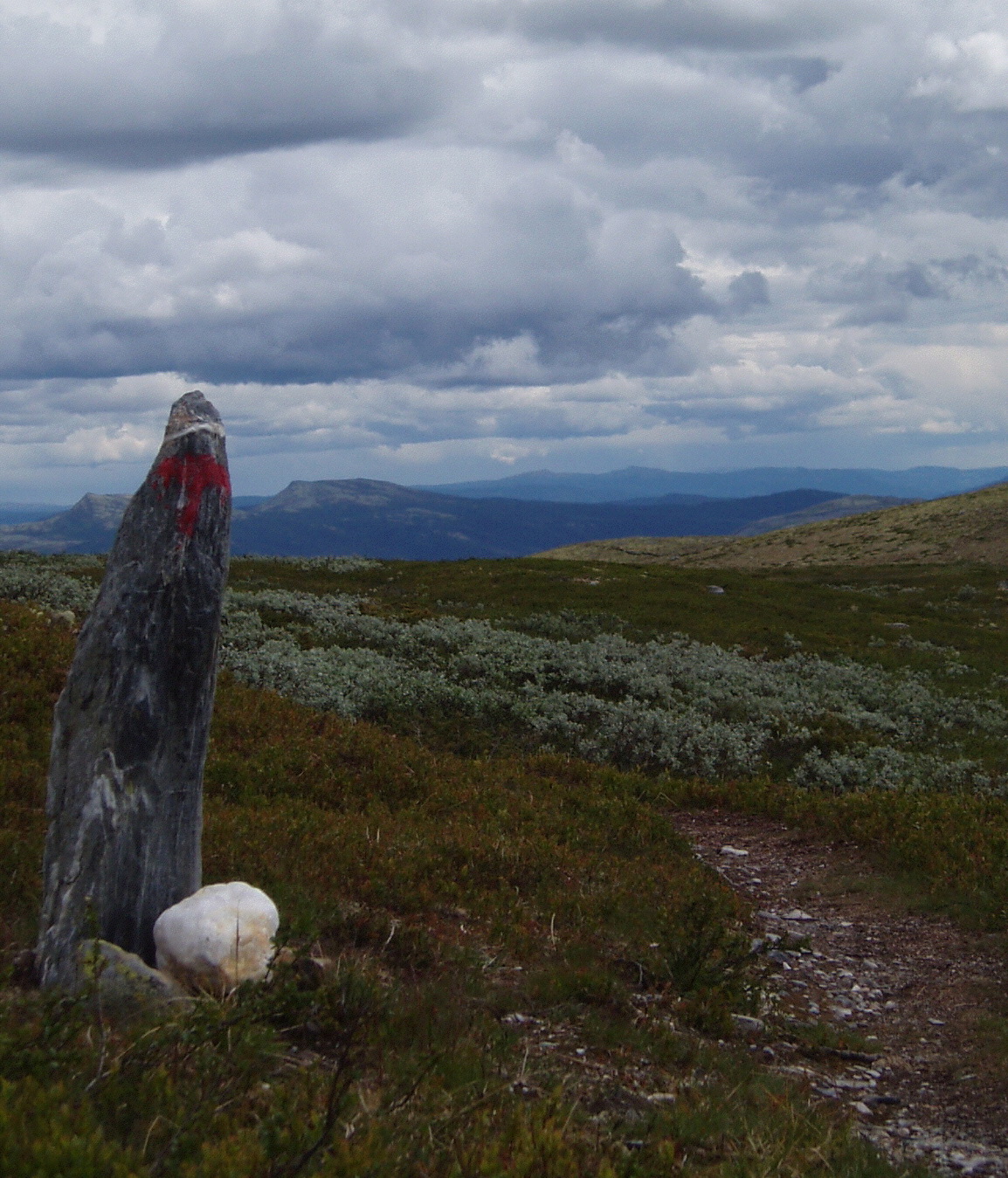
Rondane National Park Trails

Rondane National Park Trail

Rondane National Park


Rondane National Park Location


View Larger Map


Rondane National Park Videos


Hotel in Rondane National Park

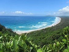
Photo of Byron Bay - one of Australia's best beaches!

Hotel in Banff

New York

New York